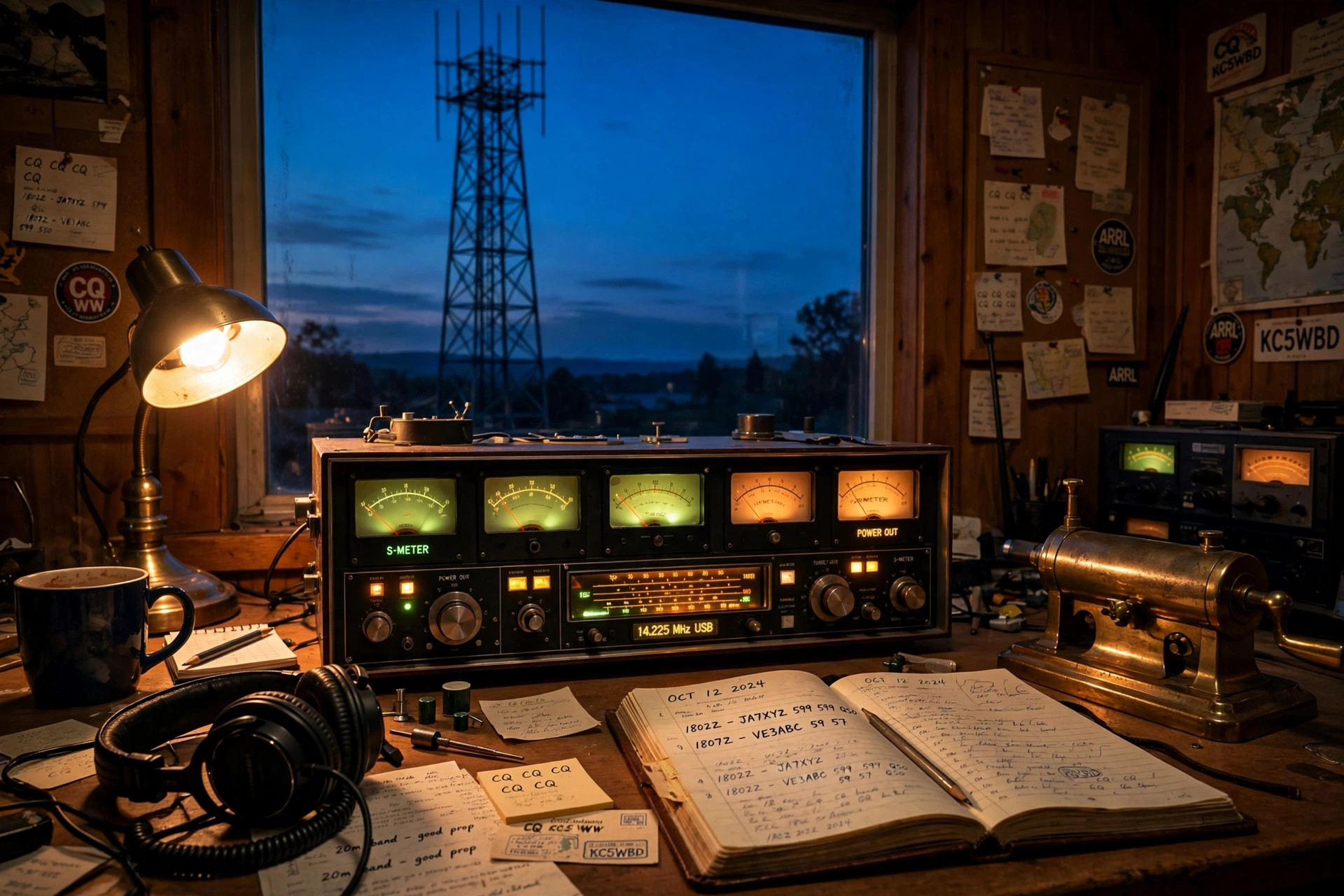
 Amateur radio
Skywave for distance, ground wave for local — Grayline's radio tools cover the whole picture, including the dead zone in between where most emergency plans fall apart.
Three specialists: one for the sky, one for the ground, one for the wire itself.
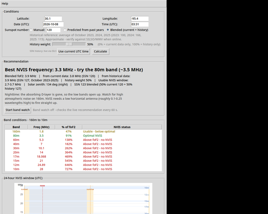
Know which band will work before you key up. Predicts the best NVIS frequency from live sunspot data and solar position — the 100–500 km regional hops that matter in an emergency.
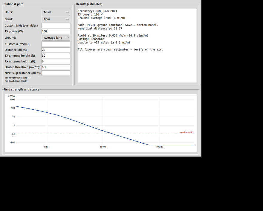
How far will your signal hug the earth? Enter band, power, and ground type — get field strength, max reliable range, and a coverage chart for every amateur band from 2200m through 70cm.
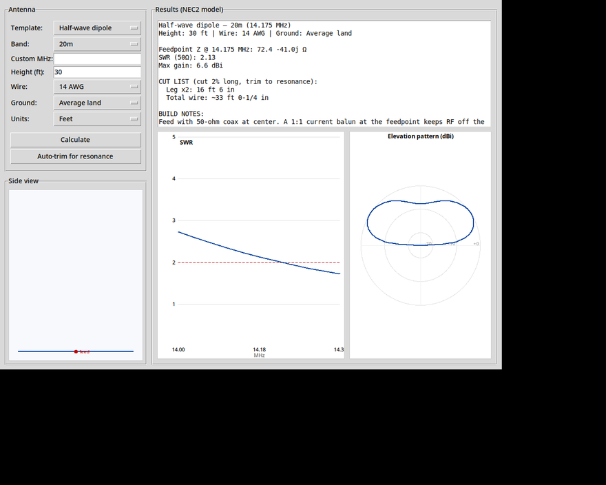
Stop guessing wire lengths. Pick an antenna template, set your height and band, and get a real NEC2-engineered design — SWR sweep, elevation pattern, and a cut list in feet and inches.
NVIS skywave flies over the nearby stations. Ground wave dies out after a few dozen kilometers. In between sits the dead zone — the ring where neither mode reaches, and exactly where your emergency contact often lives. Run both calculators: the NVIS app tells you where your skywave lands, the Ground Wave app tells you how far your local signal reaches, and together they show you the gap — so you can close it with more power, a lower band, or a relay.
NVIS calculator gives your best band and skip distance right now.
Ground Wave calculator gives your local range on that band.
See the dead zone and plan around it before you need to.
Grayline started at the radio desk — every app shows its math and works with no internet, because the field station doesn't have any.